
Photo by Paulo Simões Mendes on Unsplash
How Can Artificial Intelligence (AI) Improve Agricultural Yield and Production


Introduction
Artificial intelligence and machine learning have notably cut across different industries and are widely accepted due to their efficiency and effectiveness. The satellite and space industry is no exception and had also embraced the use of smart products to get data and forecast the future,
Most Satellite products are manufactured to be launched into the earth’s orbits to get data that can be translated into values. These valuables are in turn used to influence our lives, create job opportunities, improve health, improve the environment, and influence our decisions.
Such satellite products are designed to be used across different fields of study and made to gather data that can be used professionally to make critical decisions and products. In this article, we would take a deep dive into the importance of Satellite Imagery AI to improve farm yield and enhance production.
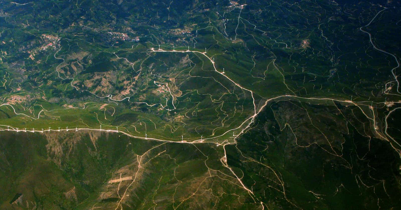
What is Satellite Imagery?
Satellite imagery is a typical Earth image collected by imaging satellites operated by governments and businesses around the world.
The images of the Earth are being taken by artificial satellites operated on a high level of artificial intelligence and machine learning using remote sensing without necessarily making physical contact.
Although satellite images have many applications in meteorology, oceanography, fishing, agriculture, biodiversity conservation, forestry, landscape, geology, cartography, regional planning, education, intelligence and warfare. Less mainstream uses include anomaly hunting, a criticized investigation technique involving the search of satellite images for unexplained phenomena.
These Images can be in visible colours and other spectra. There are also elevation maps, usually made by radar images. Image interpretation and analysis of satellite imagery are conducted using specialized remote sensing software that is operated using artificial intelligence and machine learning.
Application of the Satellite on Farm Yield Production
In most countries around the world, farmers are mostly on small scales and require lots of input to make a successful harvester all around the year. In the quest to improve farm yield and production, the governments of most countries needed to adopt the use of satellite data to
There are different satellites used around the world, majorly in India, for improving crop yield. Examples of satellites include Cartography satellites, Radar Imaging, Meteorological Observation and forecasting.
The following are the uses of Satellite images on crop yield:
Providing Deep Insights into Seasonal Problems
Satellite images provide deep insights into seasonal problems regarding nutrients, pests and diseases: The images help to identify crop seasonal issues and provide information that can best help to address issues that may constrain crop performance and are used to portray every detail of the farmers’ field.
Satellite remote sensing is widely used in Agriculture to monitor a range of real-time factors such as growth rates, soil conditions, crop damage and water usage right down to an individual field level.
Precision Agriculture
Satellite imagery gives rise to Precision Agriculture, a concept that gives farmers the ability to more effectively use crop inputs such as fertilizers, pesticides, tillage and irrigation water and thereby causing a greater crop yield and quality product without polluting the environment.
Increased Agricultural Yield
Conclusively, Satellite images are one of the best practices that improve crop yield and production. As proven, it is important to increase farm yield as more demand for agricultural produces increase and due to this fact, farmers needs help from the governments to access data from satellite images to be able to enhance their production.
Conclusion
Satellite imagery is revolutionizing the agricultural field. If more countries and organizations adopt this artificial intelligence solution, the world would finally beat its hunger pandemic.
If you would like to incorporate satellite imagery in your agricultural organization, contact Zummit Africa for efficient services.